Last weekend we decided to attempt a family walk in one of our favourite places to visit, The Lake District. There are so many walks to choose from, and also so many guides that the choice was actually quite difficult, with different sites giving the same walk different ratings in terms of gradient, accessibility and overall difficulty.
We have visited the Lake District many times, and usually opt for the most popular tourist attractions such as the boat trip from Bowness-On-Windermere to Ambleside, or the lovely walk around Tarn Hows, however this time we wanted to have a bit more adventure and find something new, something with a rewarding view and a sense of achievement at the end.
After lots of research we decided to set out from Grizedale Visitor Centre. The visitor centre is a great base as it has plenty of parking, facilities including toilets and washing area, picnic tables for lunch before you set off.
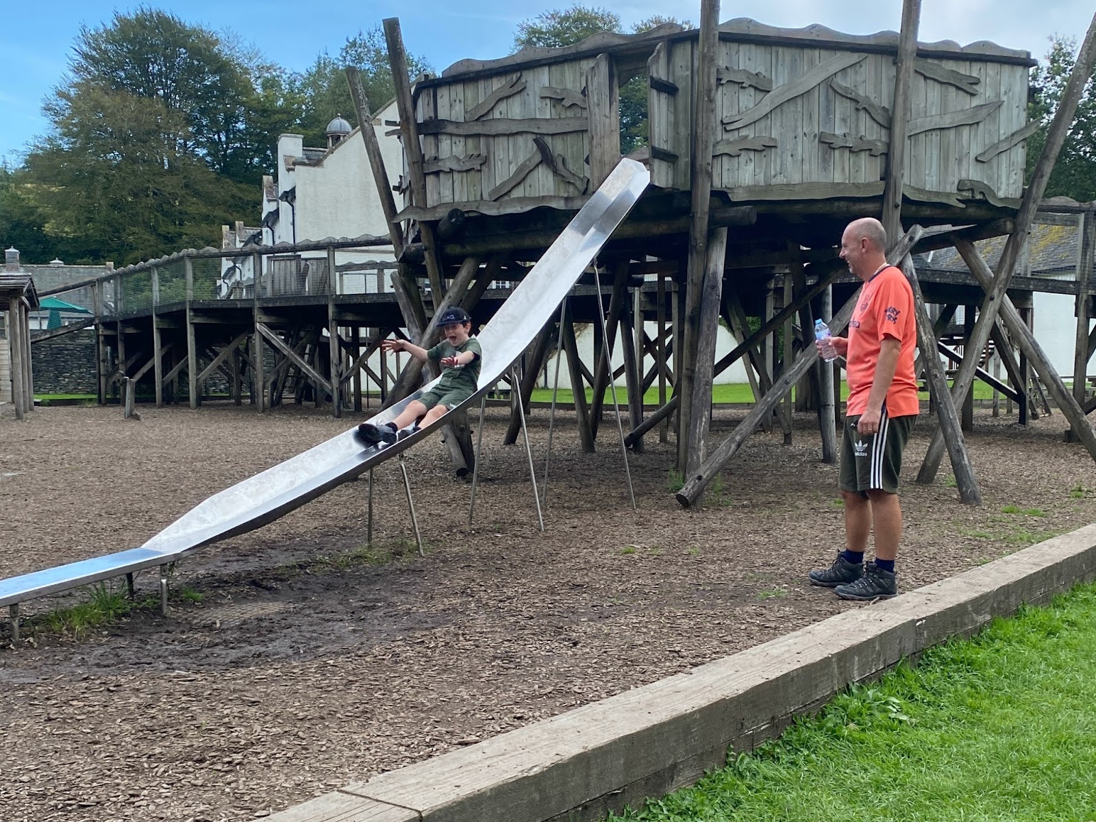
The centre also has a fantastic childrens play area, and a cafe area with outside and inside seating (although inside isn't available at the moment) serving food, drinks and ice creams throughout the day. There is also a Go Ape centre here with climbing options in the forest and Segway routes if you would prefer this to a walk.
There are several routes you can choose from, starting at Grizedale. The benefit of starting from the centre is that each route is signposted and there are coloured indicators throughout the walk to let you know you are still on track. These are brilliant for inexperienced walkers and those who want the safety net of markers to avoid getting lost. With this in mind, we chose the Red Route to Carron Crag. This is described as a steep circular route with panoramic views, being 314 metres above sea level at the summit.
As we set off from the centre, we noted the walk length as 5km and estimated a walk time of around 2 hours. This will obviously depend on your walking ability, as we found out!
The start of the walk takes you up a steep bank to the right of a small stream and sets you up well for what is ahead. Walkers go off to the right and bikers go off to the left at this point, although once you reach the top of the bank after a short climb both roads meet again.
Here you turn right and head along the road noting the red markers indicating you are going the right way. After a short walk you come to the first of two red markers. The first one heads off left and looks steep. We chose to avoid this marker and head for the second red marker, again going off to the left, but going up a little stream. These are the beginning and end markers of the circular route. You can go either way, however I recommend you follow our route, as coming down a stream, especially if its raining could be challenging for some.
Up the stream we headed. The path is rocky, with outcrops sticking out here and there. You will definitely need your walking boots here. This section of the walk seem to go on for some time, and is steep, however after some time, you will notice the forest begin to clear and you can start to appreciate the views from the top of the forest. There is a lot of logging going on towards the top of this section and there are some areas with warning signs not to enter too.
As you reach the top of the stream, turn sharp left and head along the road, which is wide and not as steep as the stream, giving your feet a rest on a flat surface. Follow the road for some time and you will come to another red marker, this time on the right. This is the path to the top of Carron Crag.
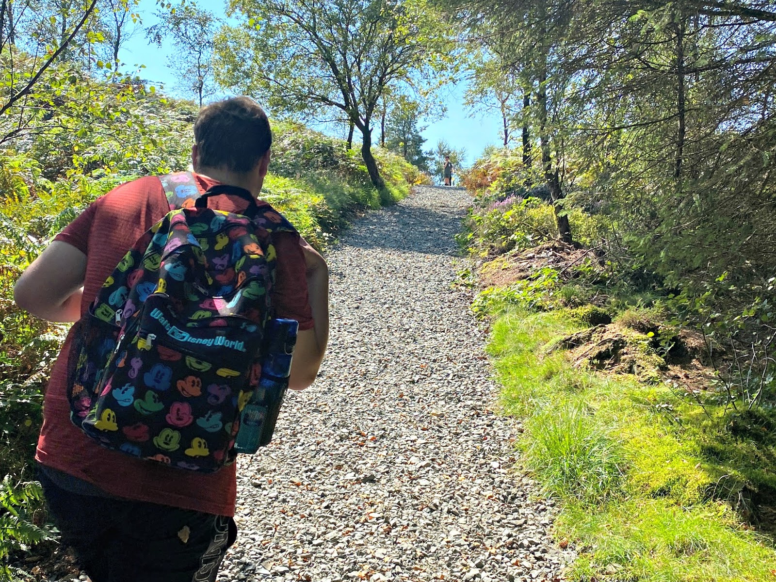
This is the steepest part of the walk, and the ground is made up of pebbles that have been put down to help you grip up the slopes. This is a short, sharp climb to the summit, and although you don't need to scramble or climb, it could be difficult for less able walkers.
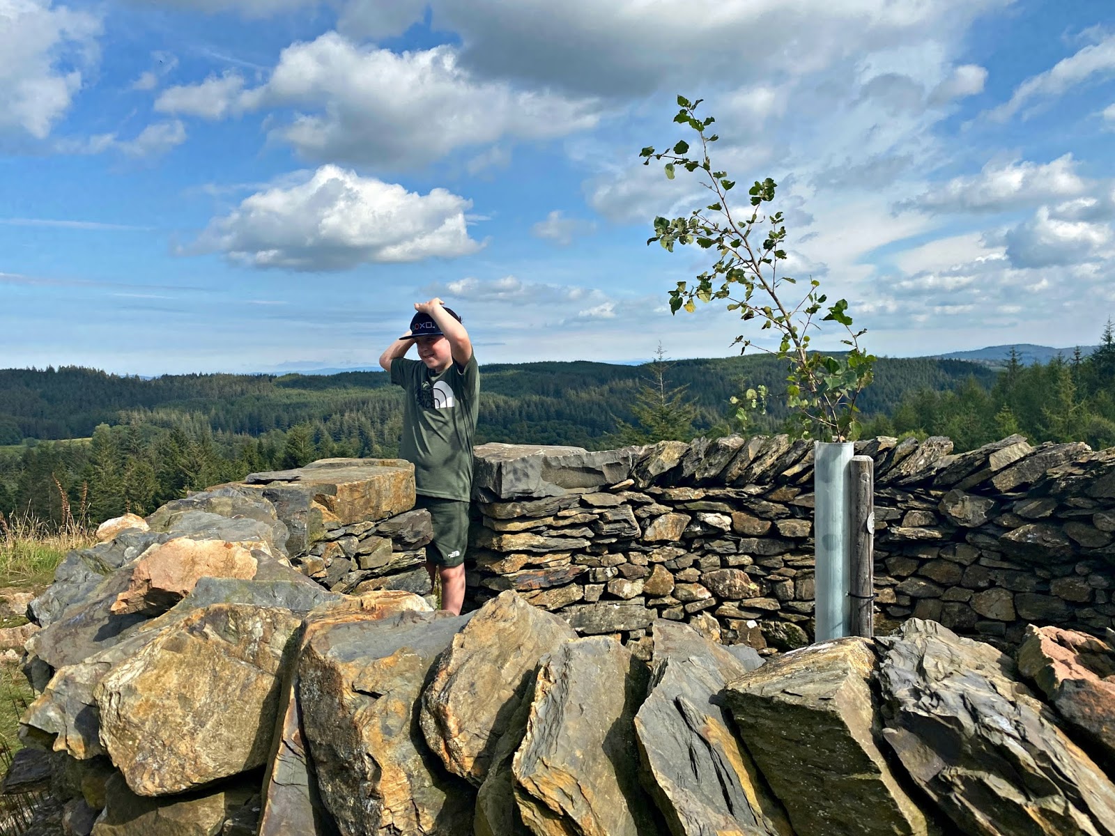
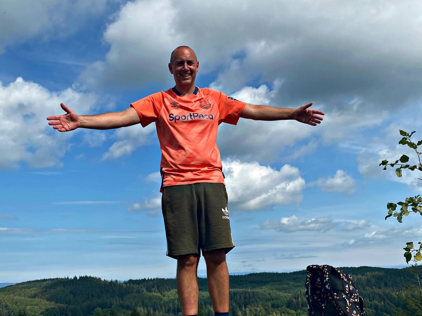
Once at the top, there is a small climb to the Trig. This is the marker indicating you have made it to the top. The views here are great. Whilst there aren't any lakes in sight, you can see some of the Fells, including Coniston Old Man, and you can also see all the way to Morecambe Bay and beyond. There are some rocks that you can sit on and have a drink and a break, before it's time to head back down to the forest centre.
There are choices to make for your descent. One way is to continue past the top and follow some more red markers back down a steep path through the forest. We opted to head back the way we came, back to the road and the marker towards the top of the Crag.
At this point instead of retracing our steps (as we didnt want to attempt walking back down the stream) we turned right, following the road as if we had passed the Carron Crag route. This takes you to the right of the forest valley and after a kilometre or so brings you to a crossroads where you meet your red markers again. From here turn left and head back down the path to the first red marker you went past on the first road. You then turn right back along the road and then turn left back down the steep bank you started on.
The walk took us around 4 hours in total. This included a stop for lunch, however a lot of this time was walking. The distance we walked seemed further than the 5km indicated, however for much of the time we followed the route. The walk was very enjoyable however, and we all felt really good when we made it to the end and celebrated with an ice cream outside the cafe.
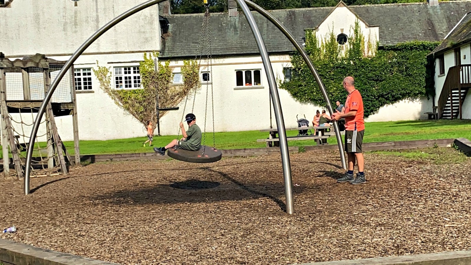
Somehow Little J still had energy to burn on the play area, and he loved the size of the structure, made of wood, with the biggest slide he has been on for some time. The area was quite quiet as it was around 4.30pm by now, however I could imagine it could get very busy at lunchtime.
********************************************************************************
If you found this post useful there are a few ways that you could say thanks and support Playdays and Runways.
Leave us a comment below and let us know about your visit
Visit our Out and About section for more days out ideas
Share This Post With Friends Who May Also Find It Useful.
John







.png)


Post a Comment
Thanks for your comments. I love reading them :)